


Datasets
Water Quality in Rivers
Waccamaw River Volunteer Monitoring
Starting in 2006, this volunteer-collected dataset now covers 18 sites along the entire length of the Waccamaw River from Lake Waccamaw to Winyah Bay. Data collected under DHEC-approved QAPP.
River Gauging in the Waccamaw and Pee Dee Rivers
This EQL monitoring program conducts biweekly sampling at eight river sites in Horry & Georgetown Counties and supplements USGS sensor data.
Water Quality in Coastal Waters
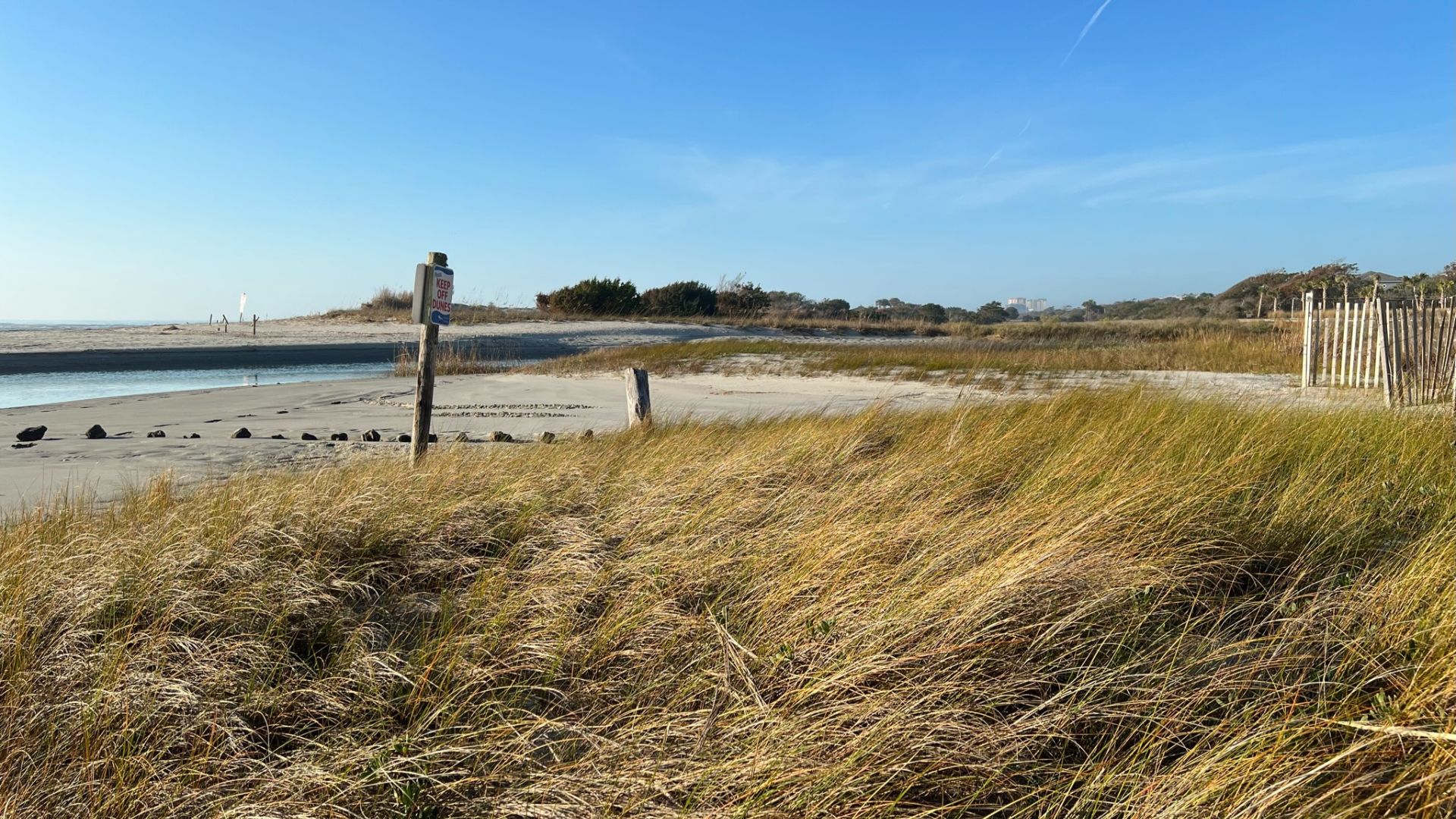
Briarcliffe Acres Volunteer Monitoring
Volunteer-collected data characterizes two stormwater ponds and a tidal swash site. Volunteer data supplemented by regulatory level measurements of Enterococcus in the swash.
Murrells Inlet Volunteer Monitoring
Eight sites in and around the Murrells Inlet estuary have been monitored by trained volunteers since 2008.
Surfside Beach Volunteer Monitoring
Volunteers monitor two stormwater ponds for potential impacts to downstream swash and beach sites.
Enterococcus Monitoring in the Surf Zone
EQL & DHEC Enterococcus data for beach sites in the Grand Strand.
Myrtle Beach's Apache Pier
Near real-time data of water quality sensors at the end of Apache Pier help better understand hypoxic events off the coast of the Grand Strand.
North Myrtle Beach's Cherry Grove
Near real-time data of water quality sensors at the end of the Cherry Grove help better understand hypoxic events off the coast of the Grand Strand.
Water Quality at CCU
Campus & Refuge Monitoring Program
Students have collected water quality data on campus since 1991 for course credit. In 2022, project grew to include downstream sites that flow through the Waccamaw National Wildlife Refuge.
General Contact Information
Waccamaw Watershed Academy
Phone: 843-349-6666Email: wwa@coastal.edu
301 Allied Drive
Conway, SC 29526
Environmental Quality Lab
Phone: 843-349-6980Email: dviso@coastal.edu
301 Allied Drive
Conway, SC 29626